


 Art & Design
 Auto & Vehicles
 Beauty
 Business
 Education
 Entertainment
 Finance
 Food & Drink
 Health & Fitness
 House & Home
 Libraries & Demo
 Lifestyle
 Maps & Navigation
 Medical
 Music & Audio
 Parenting
 Personalization
 Photography
 Productivity
 Shopping
 Social
 Sports
 Tools
Tools Travel & Local
 Video Players
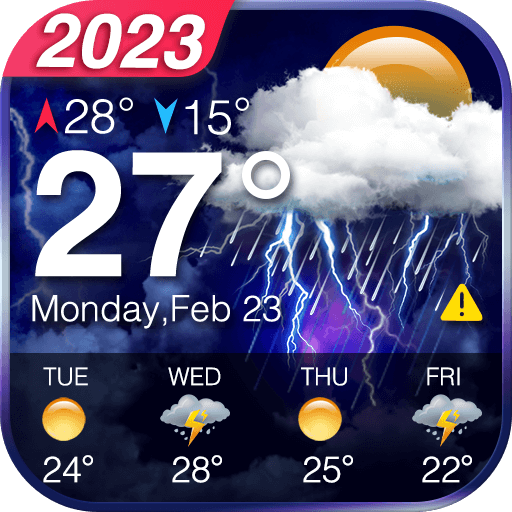
 Weather
 Family


 NOAA Buoy Stations and Ships
OS :
Version :3.5
Size :5.95Mb
Updated :Jan 13,2020
Developer :Vishwam B
 Ask AI
You can ask
the AI some questions about the app
Based on online discussions about the NOAA Buoy Stations and Ships app, here are three topics and corresponding questions:
1. Water Condition Monitoring
What features of the app help users monitor water conditions, such as wave height and water temperature?
2. Marine Navigation and Safety
How does the app's buoy data enhance marine navigation and safety, and what features contribute to this?
3. Storm and Weather Tracking
What storm and weather tracking features does the app offer, and how do they improve storm preparedness and response?
 Ask AI
App
Downloads
<
>


App
Survey
-
Why do you uninstall an app?
-
The degree of memory and power consumption Does it affect the experience?
-
Does the feedback of the application affect the experience?
-
Where do you get the new APP
Description
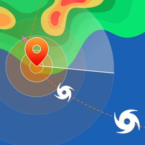
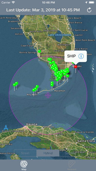
Best map for Boaters, Sailors, Fishermen, Divers!
New feature shows nautical miles coverage radius circle and buoy stations and ships with in it.
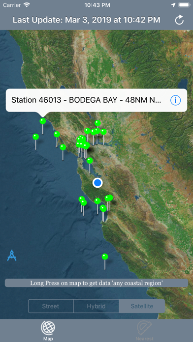
Custom search allows get buoys data for any desired region (Long press on map along the coast to get buoy stations or available ships data).
The NOAA Buoys Stations and Ships map is a unique app that allow you to retrieve weather data and real time ship positions data from NOAA's National Data Buoy Centre based on your current GPS location.
All Buoy Stations and Ships are displayed on the maps (Street, Hybrid, Satellite)
Search Nearest Stations and get all the NOAA information for Wind Speed, Wind Direction, Wind Gust, Air Temperature, Water Temperature, Dew Point and more parameters…
Please note that Internet connection is required to access data from NOAA NDBC.
{{descriptionMoreText}}
Comments (0)
{{commentText.length}}/{{maxCommentText}}
{{commentError}}{{commentUserError}}
-
{{comment.commentUser.substring(0, 1)}}By {{comment.commentUser}}{{comment.commentDateString}}
Developer apps

Category Top
apps
- Google Play
- App Store


More Apps


