


 Art & Design
 Auto & Vehicles
 Beauty
 Business
 Education
 Entertainment
 Finance
 Food & Drink
 Health & Fitness
 House & Home
 Libraries & Demo
 Lifestyle
 Maps & Navigation
 Medical
 Music & Audio
 Parenting
 Personalization
 Photography
 Productivity
 Shopping
 Social
 Sports
 Tools
Tools Travel & Local
 Video Players
 Weather
 Family


 Open GPX Tracker
OS :
Version :1.8.0
Size :33.94Mb
Updated :Jun 6,2022
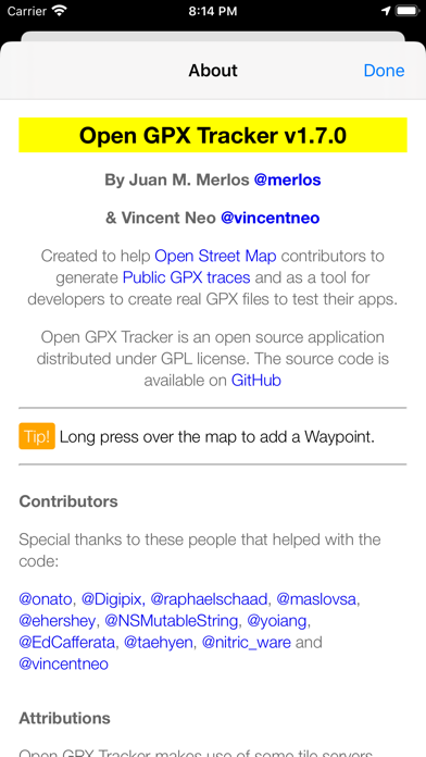
Developer :Juan Manuel Merlos
 Ask AI
You can ask
the AI some questions about the app
Here are three topics that users may discuss about Open GPX Tracker, turned into questions:
1. How does Open GPX Tracker handle GPS signal loss during outdoor activities?
2. Can Open GPX Tracker integrate with other fitness tracking apps for a comprehensive view?
3. Is Open GPX Tracker compatible with various file formats for easy data sharing?
 Ask AI
Pros and Cons from users' feedback
I'd be happy to help you with that! After analyzing the user reviews on the Apple App Store, here are three pros and three cons of the Open GPX Tracker app:
Pros:
1. Accurate tracking: Users praise the app's ability to accurately track their routes and activities, providing precise data.
2. Simple and intuitive interface: Reviewers appreciate the app's user-friendly design, making it easy to navigate and use.
3. Customizable: Users like the option to customize the app's settings, such as adding custom icons and labels, to suit their needs.
Cons:
1. Limited features: Some users feel that the app lacks certain features, such as real-time tracking or integration with other fitness apps.
2. Glitches and bugs: A few reviewers experienced technical issues, such as crashes or data
App
Downloads
<
>

App
Survey
-
The degree of memory and power consumption Does it affect the experience?
-
Do you think the aesthetics of the interface UI affects the experience?
-
How much traffic the app consumes Does it affect the experience?
-
Ease of use of the application Does it affect the experience?
Description
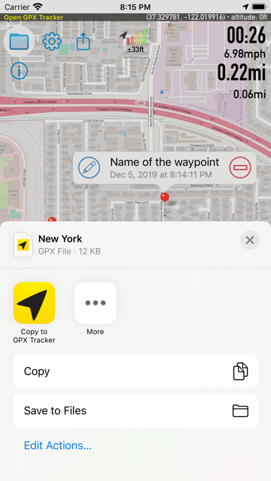
Create GPS traces with waypoints. Offline map support, no time restrictions, no ads, no in-app-purchases.
Open GPX Tracker is ideal for:
* Traveling and vacation (offline map app)
* Collecting and sharing track and waypoints data
* Creating routes and waypoints for editing Open Street Map
* Publishing Open Street Map Traces
* Creating real GPX files for testing your iOS apps in Xcode
Main Features:
* Apple Watch App support
* Offline maps of browsed areas
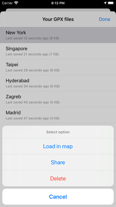
* Load saved sessions and continue tracking
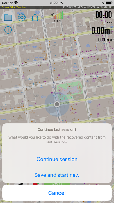
* Auto recovery last session after crash or closing the app
* Display tracking information in a map
* Display speed, distance, coordinates and time
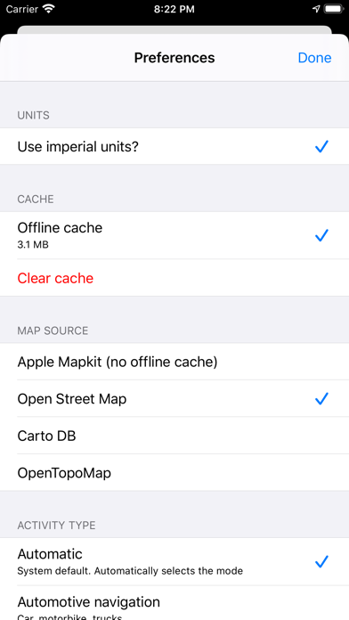
* Use multiple map sources (Apple Maps, Open Street Maps, CartoDB)
* Pause / Resume tracking
* Add waypoint to user location
* Add waypoint to any place in the map with a long press
* Edit waypoint name
* Drag & Drop waypoint pin
* Remove waypoints
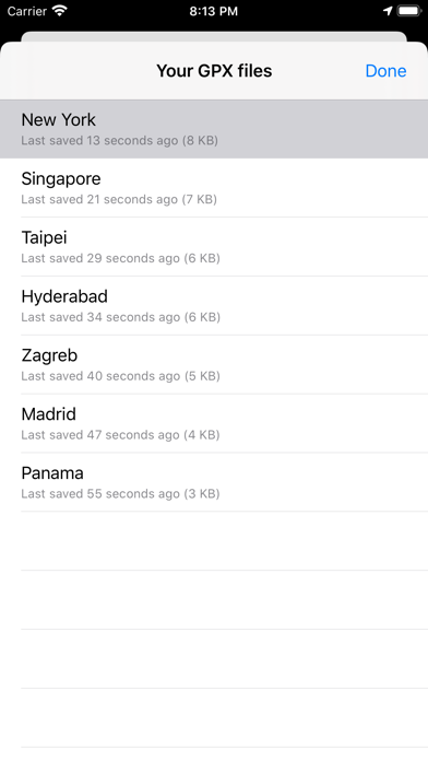
* Share and send GPX files
* Custom file naming
Please note:
Continued use of GPS running in the background can dramatically decrease battery life.
{{descriptionMoreText}}
Comments (5)
{{commentText.length}}/{{maxCommentText}}
{{commentError}}{{commentUserError}}
-
{{comment.commentUser.substring(0, 1)}}By {{comment.commentUser}}{{comment.commentDateString}}
-
hBy hyzhang7Apr 20,2021
-
jBy jerry7171Dec 20,2018
-
9By 970038Mar 28,2019
-
DBy DevonsDadJul 24,2021
-
PBy PirateGuillermoJun 7,2018
Category Top
apps
- Google Play
- App Store


More Apps


