


 Art & Design
 Auto & Vehicles
 Beauty
 Business
 Education
 Entertainment
 Finance
 Food & Drink
 Health & Fitness
 House & Home
 Libraries & Demo
 Lifestyle
 Maps & Navigation
 Medical
 Music & Audio
 Parenting
 Personalization
 Photography
 Productivity
 Shopping
 Social
 Sports
 Tools
Tools Travel & Local
 Video Players
 Weather
 Family


 OpenMaps - Outdoor GPS Maps
OS :
Version :4.91.100
Size :26.63Mb
Updated :Apr 26,2021
Developer :Immaginet Srl
 Ask AI
You can ask
the AI some questions about the app
Here are three topics that users may discuss about OpenMaps, turned into questions:
1. What do you like most about OpenMaps' offline GPS capabilities on hiking trails and national parks?
2. How do you find the accuracy of OpenMaps' maps compared to other GPS navigation apps on crowded city streets?
3. Have you used OpenMaps for tracking your route while camping or backpacking, and if so, what features do you rely on most?
 Ask AI
App
Downloads
<
>
App
Survey
-
Does the frequency of application notifications affect the experience?
-
How much traffic the app consumes Does it affect the experience?
-
Do you think the aesthetics of the interface UI affects the experience?
-
How much time do you spend on app applications every day?
Description
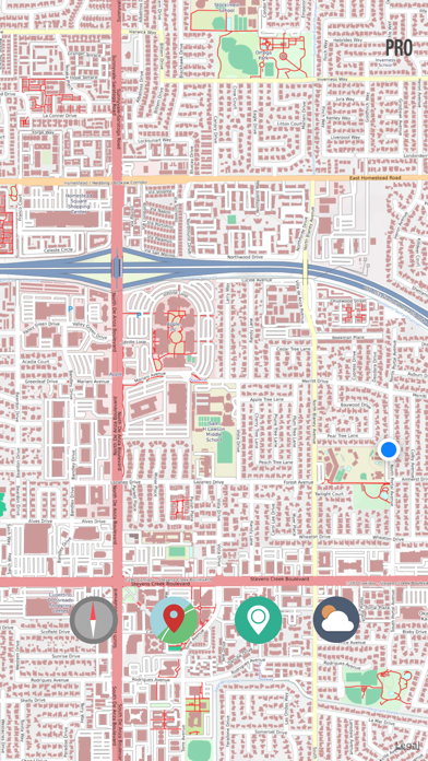
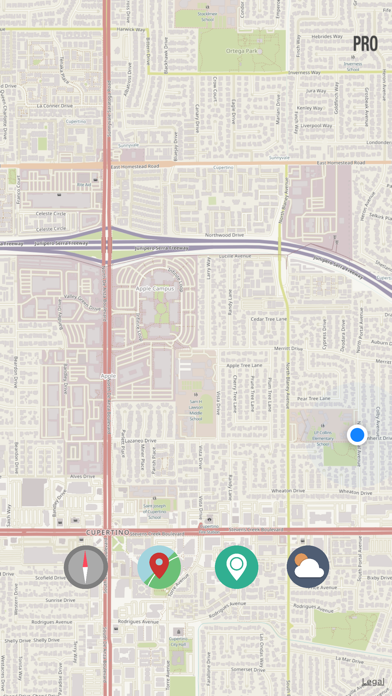
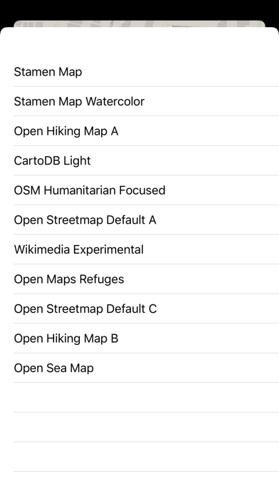
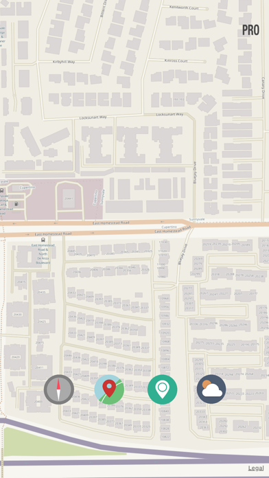
Over ten digital topographic maps , designed for hikers , explorers and outdoor activities. You can find all kinds of roads, mule tracks, dirt roads, country roads ...
Do you want to plan a day trip but you lack precisely the map of the place ? No problem with OpenMaps . You can freely consult a wealth of detailed maps
Why use OpenMaps:
This map references the live tiled map service from the OpenStreetMap (OSM) project and other open source map server.
Indispensable for trekkers, mountaineers, mountain bikers, or simple enthusiasts of hiking.
What'is OpenStreetMap:
OpenStreetMap (OSM) is an open collaborative project to create a free editable map of the world. Volunteers gather location data using GPS, local knowledge, and other free sources of information and upload it.
The resulting free map can be viewed and downloaded from the OpenStreetMap server: http://www.OpenStreetMap.org. See that website for additional information about OpenStreetMap. It is made available as a basemap for GIS work in ESRI products under a Creative Commons Attribution-ShareAlike license.
With this new version is included today widget with altitude, sunrise sunset calculator and current address.
{{descriptionMoreText}}
Comments (0)
{{commentText.length}}/{{maxCommentText}}
{{commentError}}{{commentUserError}}
-
{{comment.commentUser.substring(0, 1)}}By {{comment.commentUser}}{{comment.commentDateString}}
Developer apps

Category Top
apps
- Google Play
- App Store


More Apps


