


 Art & Design
 Auto & Vehicles
 Beauty
 Business
 Education
 Entertainment
 Finance
 Food & Drink
 Health & Fitness
 House & Home
 Libraries & Demo
 Lifestyle
 Maps & Navigation
 Medical
 Music & Audio
 Parenting
 Personalization
 Photography
 Productivity
 Shopping
 Social
 Sports
 Tools
Tools Travel & Local
 Video Players
 Weather
 Family


 Trekking Watch: Empty Map
OS :
Version :1.1.0
Size :2.56Mb
Updated :Jun 9,2021
Developer :Tocapp Games S.L.
 Ask AI
You can ask
the AI some questions about the app
Here are three topics that users might discuss about the app "Trekking Watch Empty Map" based on my analysis of online reviews and ratings:
1. How does the app handle offline mapping and navigation in remote areas with poor connectivity?
2. Are the map data and routing algorithms accurate and trustworthy for hikers and outdoor enthusiasts?
3. Can the app's "Empty Map" feature be customized to display only the most relevant information for a specific trek or adventure?
 Ask AI
Pros and Cons from users' feedback
Based on the users' reviews of the Trekking Watch Empty Map app, here are three pros and cons in 15 words or less:
**Pros:**
1. Accurate tracking of routes and journeys, even in remote or offline areas.
2. Simple and user-friendly interface makes navigation easy and effortless.
3. Provides detailed elevation profiles and distance tracking for fitness enthusiasts.
**Cons:**
1. Weak cellular connectivity leading to frustrating disconnections and data loss.
2. Limited customization options for users who prefer personalized maps and settings.
3. Occasional bugs and glitches causing app crashes and errors, affecting overall performance.
App
Downloads
<
>


App
Survey
-
What is your Mobile System?
-
Whether the application ad recommendation affects the experience?
-
Does the feedback of the application affect the experience?
-
How much time do you spend on app applications every day?
Description
We love nature, especially the mountains. But walking unfamiliar routes sometimes can be dangerous, be careful not to get lost. This app was created for this purpose, to help you not get lost in the mountains.
The app saves your position approximately every 25 meters on a black map or empty map, so you always know what you are traveling and, most importantly, you can always return to the starting point. In addition, no matter how far you travel, the zoom is self-adjusting so that the route you are following is always visible.
Why is a black or empty map used?
In the mountains many times there is no coverage, in this app is not a problem because not use the internet, it only uses GPS. It's an app designed to don't get lost during the route. In addition, battery consumption is reduced.
The app is available for Apple Watch and for iPhone. At any time you can consult:
- The Km you have traveled
- The altitude at which you are
- The accumulated altitude
- The route you have completed
- Direction of the route
- The route time
- Precision of saved points
- * For iPhone, send current position.
Simple. Very simple:
- Once there is communication with the GPS, a "START" button will be displayed. Press it to start the route.
- The red dot marks the starting position
- The green dot marks the current position
- Once you have finished the route, press the "STOP" button
Tell us about your experience with the app. Has it been useful to you? Can you think of any improvement? We will be delighted to hear from you!
*Please, before making a route, always try to be accompanied and always tell someone the route you are going to take, never trust your life only to an app.
This app has been developed using SwiftUI.
{{descriptionMoreText}}
Comments (0)
{{commentText.length}}/{{maxCommentText}}
{{commentError}}{{commentUserError}}
-
{{comment.commentUser.substring(0, 1)}}By {{comment.commentUser}}{{comment.commentDateString}}
Developer apps
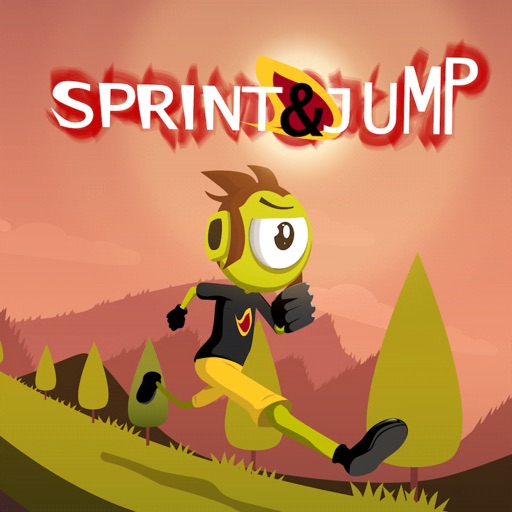 Sprint & Jump - Finger Skills
 Dark Mode Game - Night Mode
 Absurd Monsters Puzzle - Wear
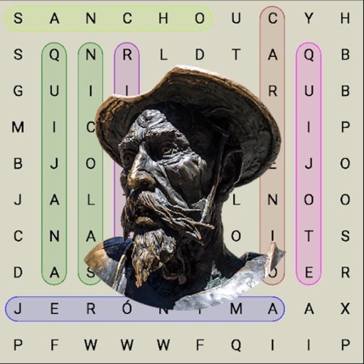 Quixote Word Search
 Digital Velocity - Speedometer
 Random for Watch
 Brain Game for watch
 Tessellate 360 - Watch Game
 Ambient Night Light - Torch
 Sounds Watch
 Color Conquest - Watch Game
 Lava in Maze - Mazes for watch
 Search Mines Wear - Watch game
 Slide Puzzle Wear - Watch Game
 Colors Together - Watch Game
 Bubble Level for Watch
 Idle Balls 360: Match 3 puzzle
 Sudoku Wear 4x4 - Watch Game
 Hangman Wear - Watch Game
 Let Off - Pursuit car game
 Magnetic Dipole
 Word Search Wear - Watch game
 Watch Line: Games for watch
 Peer Images Wear - Watch Game
 Knife Fall: Knife Challengue
 3 To 9 - A long Tic Tac Toe
 Multitask Balls: Blocks Jump
 The Balls Game - Watch Game
 Watch VS Colors: Fly games
 Relaxing Galaxy - Relax game
 Bug Plague - Play on Watch
 Psychotechnical Test Drive
 Vaporwave Race 3D - Watch Game
 Crown Fronton - Hard Ball Game
 Serpent Wear - Watch Game
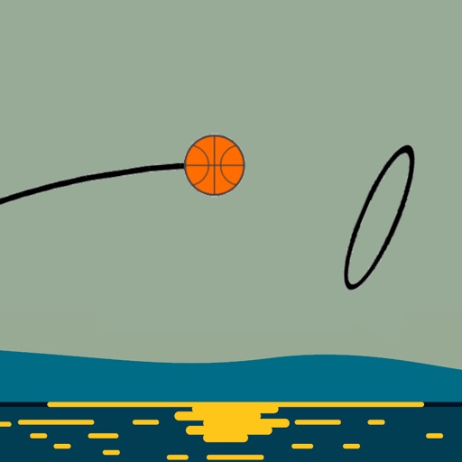 Impossible Basket - Watch Game
 Slab Builder - Wear Game
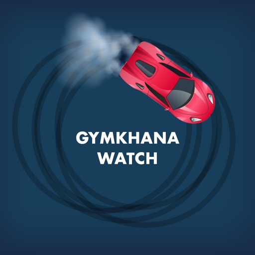 Gymkhana Watch: Drifting game
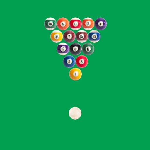 Billiard Wear - Watch Game
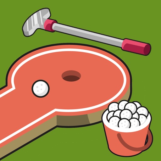 Mini Golf - Watch Game
 Jellyfish Tap - Watch Game
 Touch Round - Watch game
 Air Hockey Wear - Watch Game
Category Top
apps
- Google Play
- App Store


More Apps


